Japan Travel App
An interactive HTML app for planning and navigating a trip to Japan, with 1.700 points of interest, importance filters, and detailed information. Project completed and used on the field during the trip (August 2025).
Completed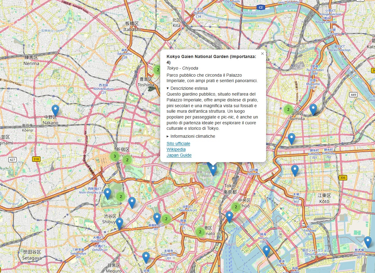
For my August 2025 trip to Japan, I built the tool I wished existed: an interactive map with 1,765 locations across all 48 Japanese prefectures, working offline from a single HTML file.
The problem
Traditional guides are linear: lists of places without spatial context. Google Maps is generic and doesn't allow filtering by importance. I needed a tool that showed everything on a map, with clear priorities and information accessible in a tap.
The solution
A single HTML file with a Leaflet map containing 1,765 points of interest across 48 prefectures and 604 areas, classified by importance (1 to 5). Each POI has: name, area, short description, expandable extended description, weather information, and direct links to official site, Wikipedia, and Japan Guide. Markers are color-coded by importance level with checkbox filters.
Field tested
The app was used daily during the trip: Tokyo, Kawasaki, Nikko, Kamakura, Hakone, Kyoto, Nara, Uji, Hiroshima, Miyajima, Himeji, Koya-san, Osaka. Zero server dependencies, works offline after first load. No framework, no build: pure HTML/CSS/JS with Leaflet via CDN.
Features
Importance filters with color-coded checkboxes. Informative popups with description, links, and weather. Expandable extended descriptions to keep the view clean. Automatic marker clustering at low zoom levels. Responsive for mobile use during travel.