Travel tools
The maps I put together for my own trips, left here for whoever travels next.
Maps of places
Before each trip I collect the places worth seeing and put them on a map, with a short note for each one. I publish them here as I go: Northern Europe is the first, more areas will follow.
-
Italy map
Art cities, villages, coasts and mountains from north to south, with Malta and San Marino.
Open the map → -
Japan map
Temples, castles, gardens and onsen from Hokkaidō to Okinawa, on a single map.
Open the map → -
Central Europe map
Castles, capitals and Alps across Germany, Austria, Switzerland, Poland, Czechia, Slovakia, Hungary and Slovenia.
Open the map → -
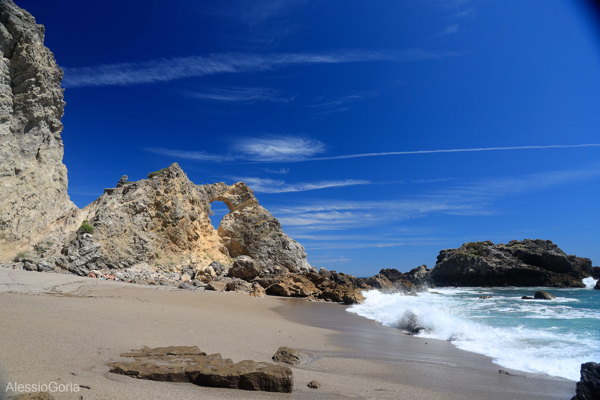
Iberian Peninsula map
From the Alhambra to the Galician rías, with the Balearics, Canaries, Madeira and the Azores.
Open the map → -
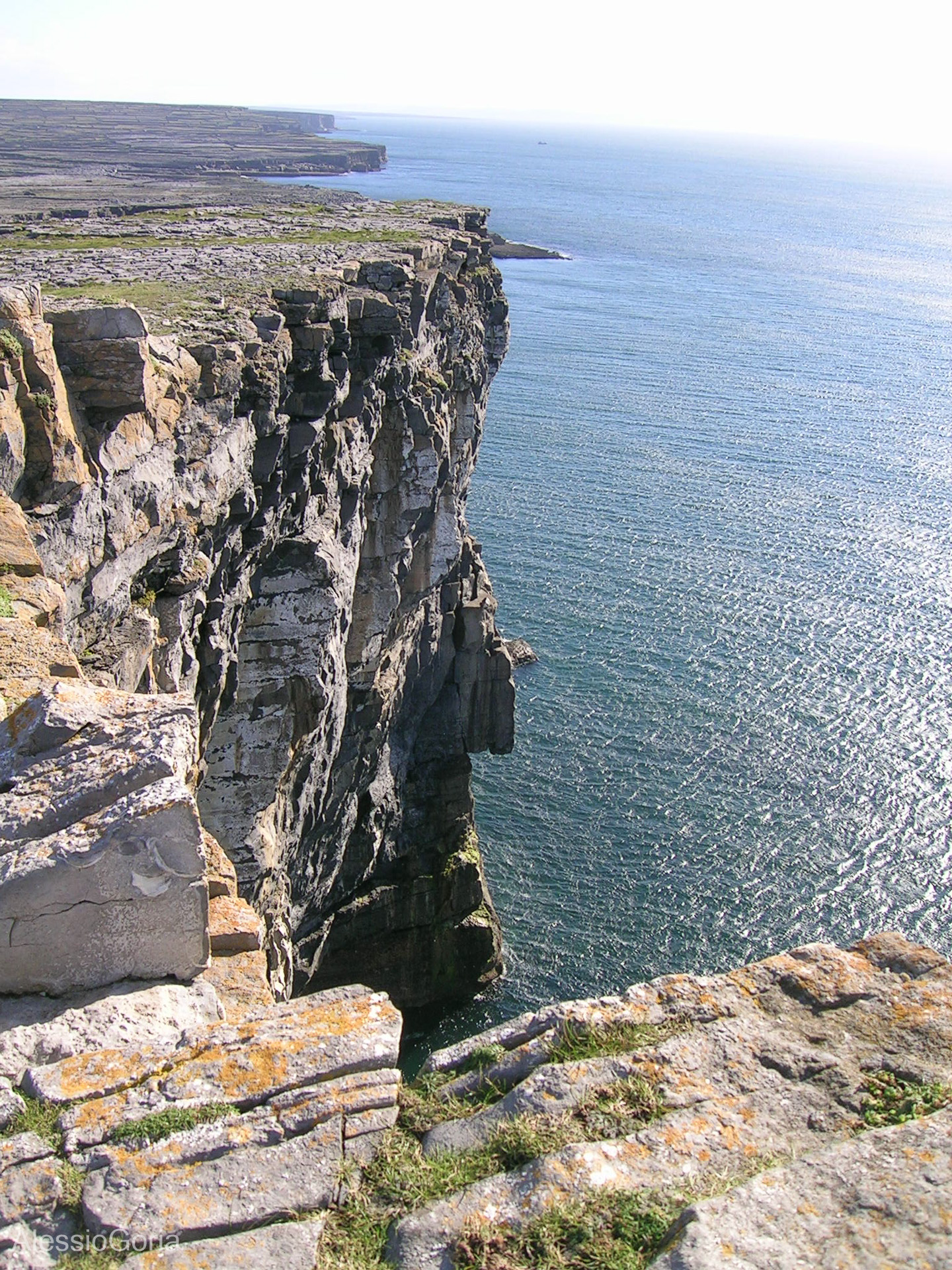
Western Europe map
France, the UK, Ireland and the Benelux: castles, coasts and capitals on a single map.
Open the map → -
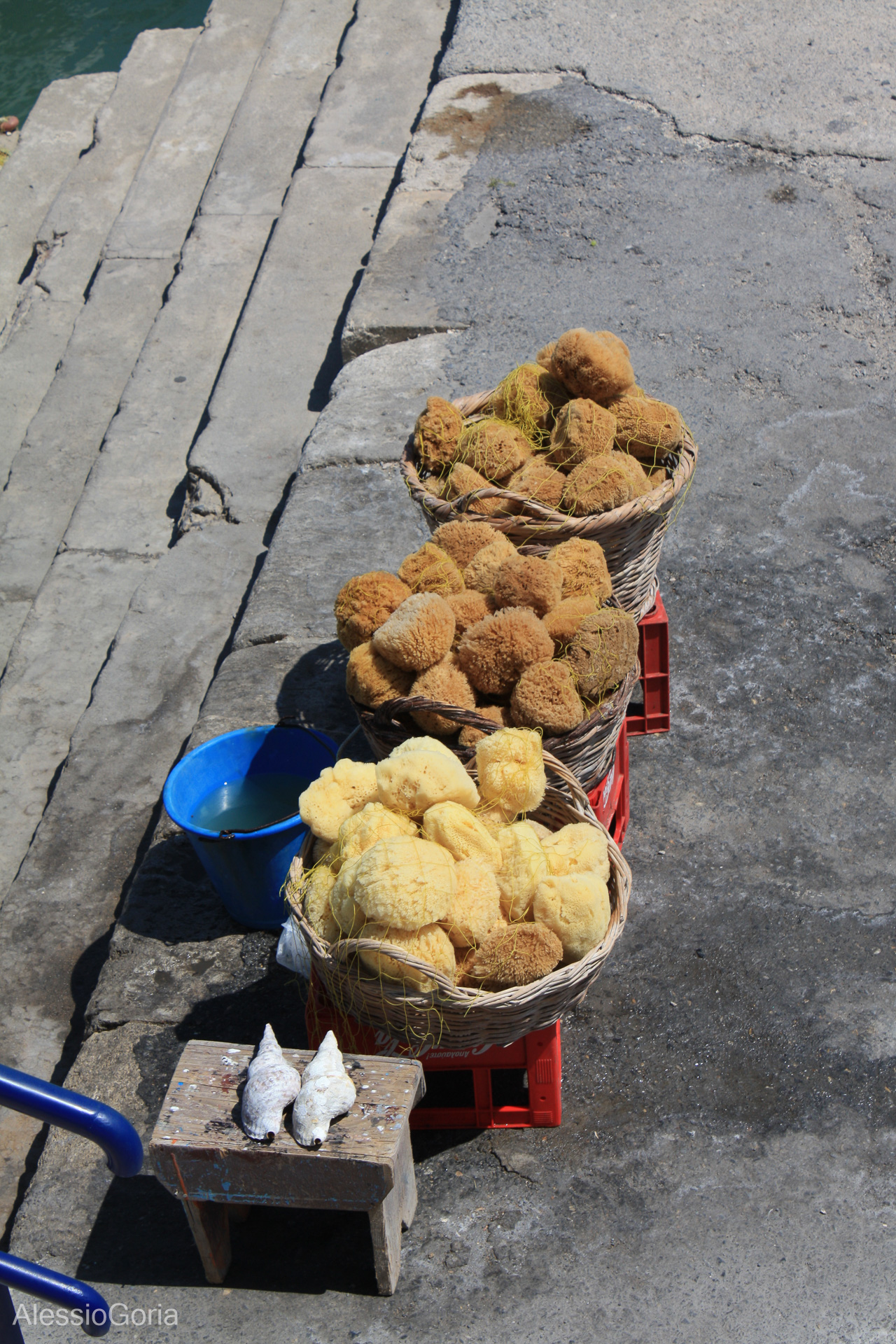
Balkans and Greece map
From the Acropolis to the Bay of Kotor: ten countries between the Adriatic, the Aegean and the Carpathians.
Open the map → -
Northern Europe map
All of Scandinavia, the Baltics, Iceland and the Faroes: from the capitals loop to the North Cape.
Open the map →
Information generated with AI. Place entries have been spot-checked and may contain errors: before you set off, always confirm opening hours, prices and closures on the official website linked in each entry.